Perry, UT to Jerome, ID
I broke camp.
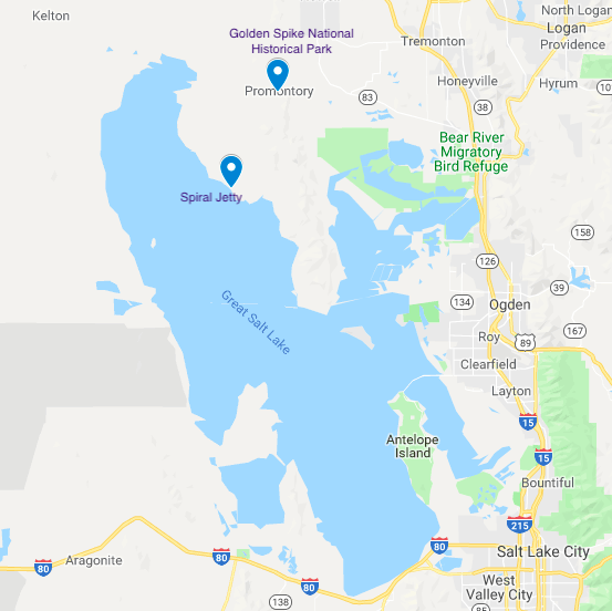
Golden Spike National Historical Park
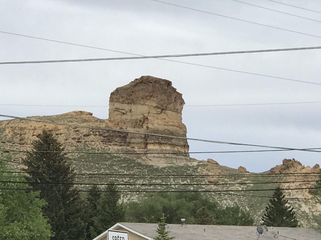
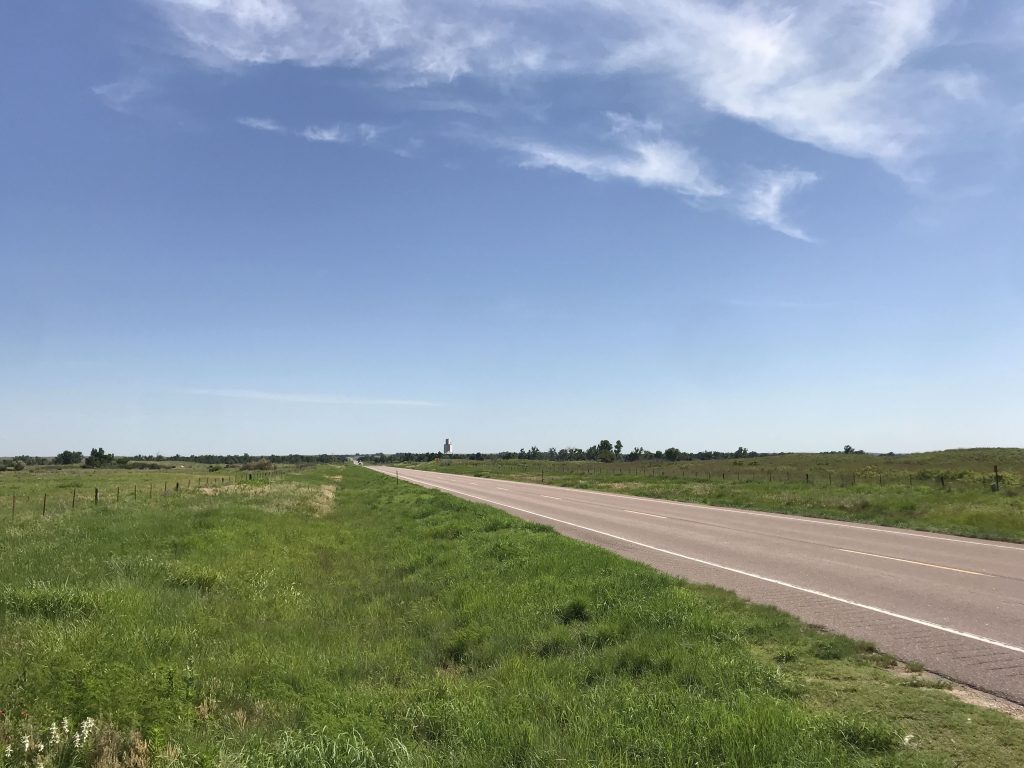
Saw a highway sign for Golden Spike National Historical Park (GSNHP) and on the spur of the moment, I decided to go there. I’ve been interested in that place for a long time. It’s in a very isolated spot, Promontory Summit, on the northern side of the Great Salt Lake. When I got there at about 8 AM, I could see for miles and miles and I couldn’t see another person or car. And there was no sound except a little wind.
The golden-spike driving ceremony in 1869 that completed the first transcontinental railroad was planned by the two railroads, the Union Pacific and the Central Pacific, like a modern media event.
They left a short gap between the two track segments to prepare for the ceremony. Locomotives were prepared. Dignitaries were invited and came. A photographer was on the scene, and telegraph operators were ready to transmit the news coast to coast.
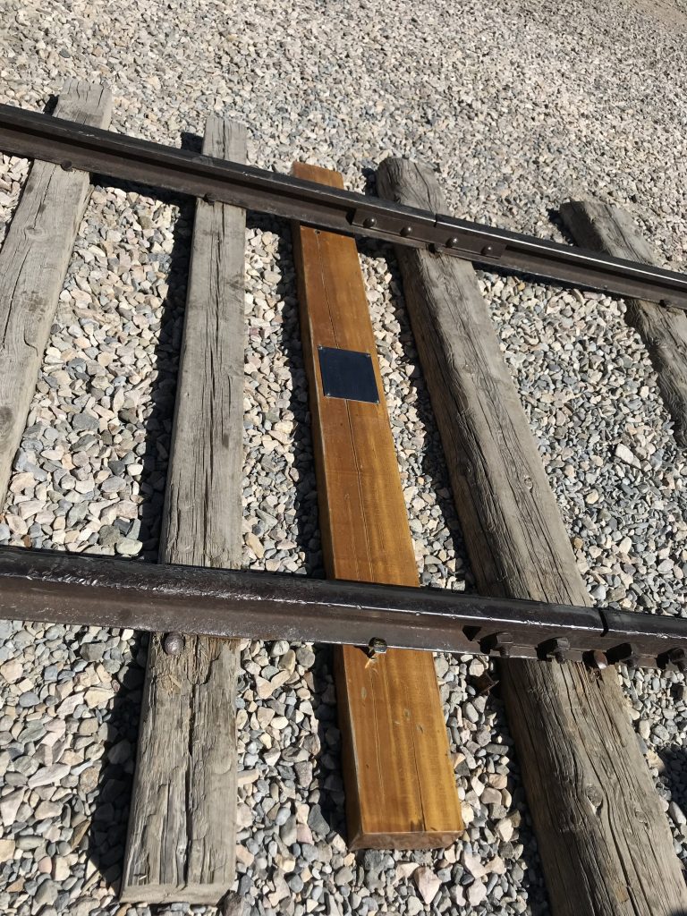
At the ceremony, railroad executives drove the four precious metal spikes (two gold, one silver, and one gold-silver-iron) into a special laurel-wood tie. Immediately afterwards, the precious metal spikes and laurel tie were removed and replaced with regular iron spikes and a normal tie.
A nation went wild.
In city after city, church bells rang, trains hooted, fire engines howled, gongs clanged, and cannons thundered. Citizens thronged the streets. (NPS wall text)
The original laurel tie was displayed in San Francisco until destroyed in the 1906 earthquake.
Two of the original precious metal spikes are now at the Stanford University Museum. One belongs to the Museum of the City of New York, and the fourth’s whereabouts are unknown, so let me know if you find it.
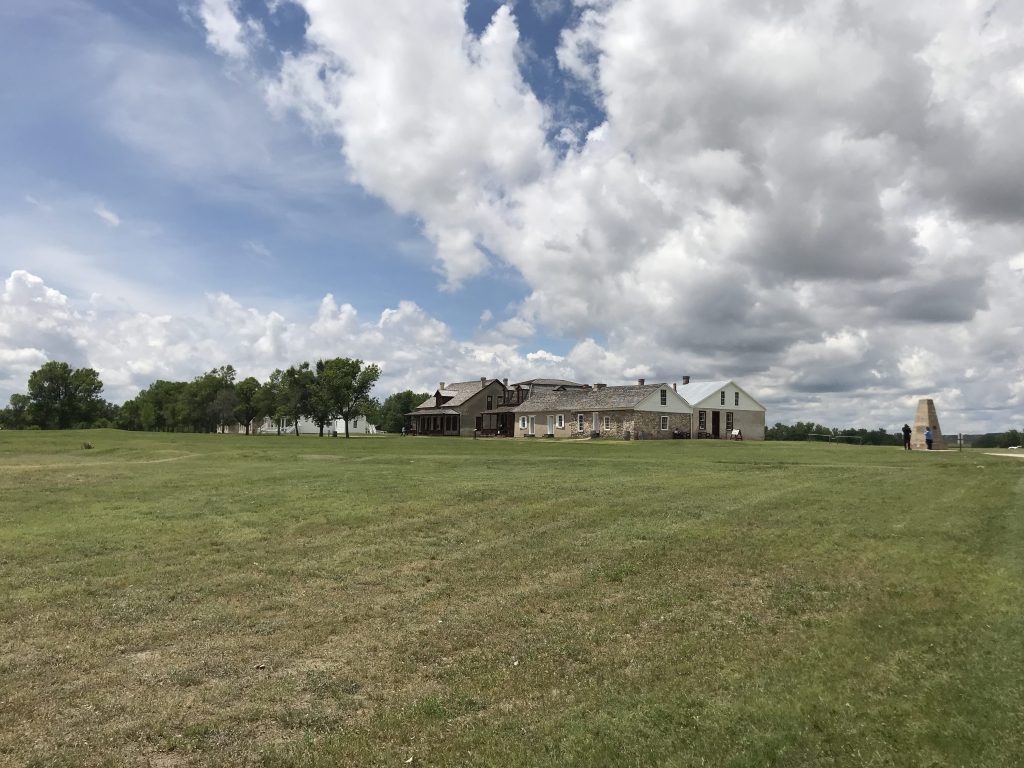
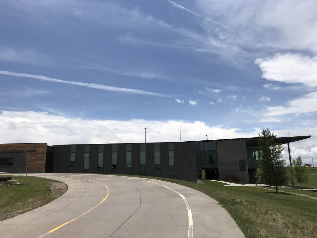
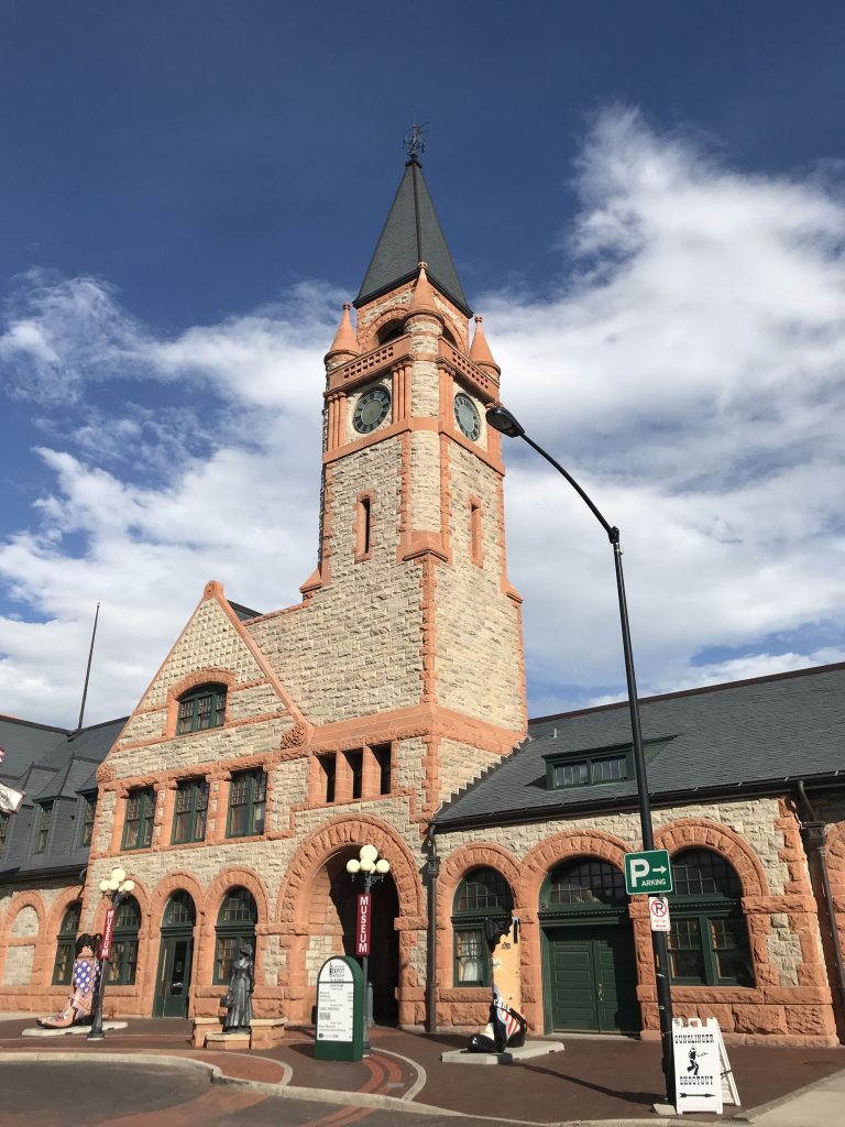
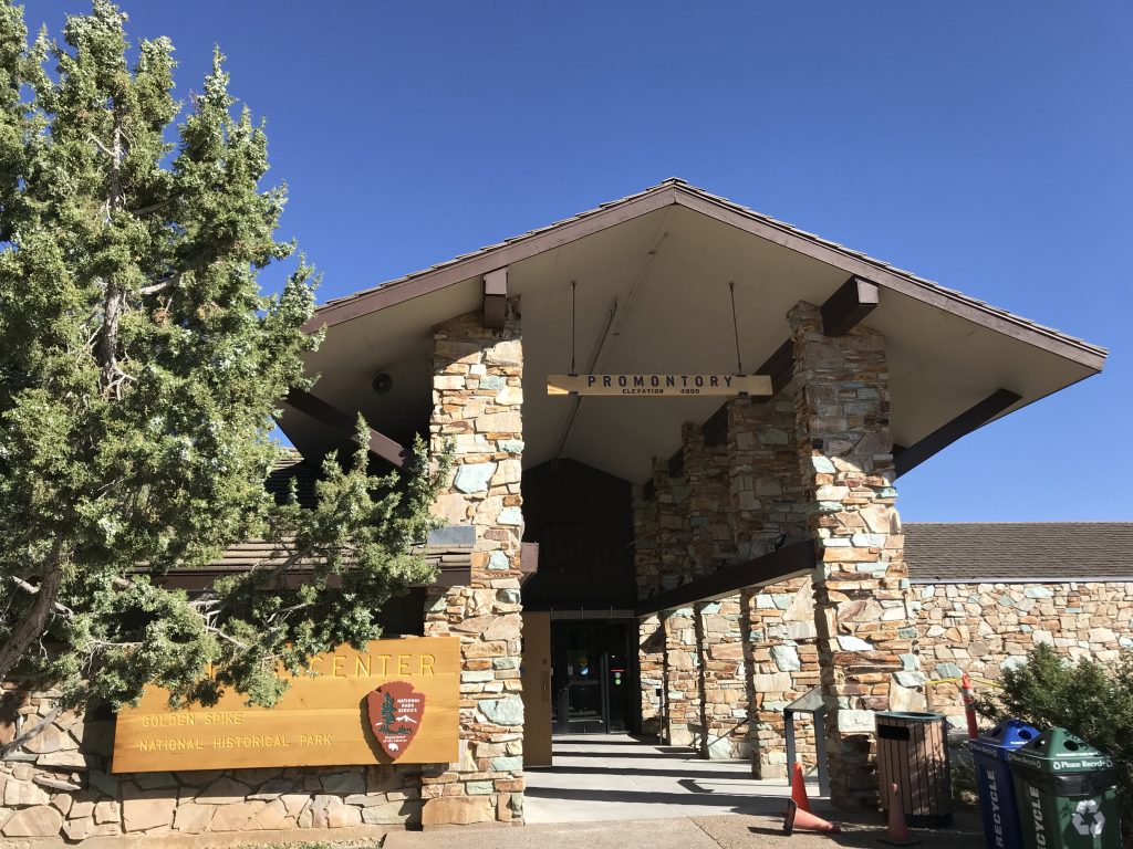
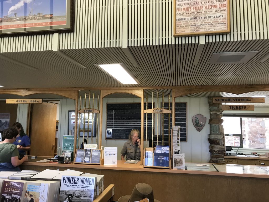
The Visitor Center is on the site of the old railroad station. And it’s made to look like a station.
Rail passengers going through this point had to change from one railroad to the other. Sometimes they had to wait a couple of days. (I guess they had to wait that long because there was only a single track!) Some thought that this place, dubbed Promontory, would become a big railroad hub. But there’s no water there to support a town. So the Southern Pacific (the Central Pacific’s heir) bought the track rights as far as Ogden in 1870. Ogden became the hub.
Outside, there were plaques to the Irish (Union Pacific) and Chinese (Central Pacific) workers who built the railroad.
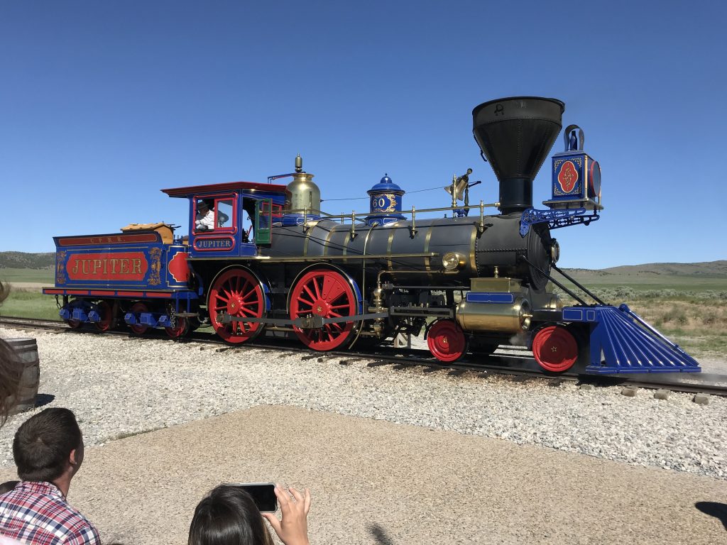
The NPS has had replicas of the two locomotives made. (Great use of tax dollars in my opinion!) They were reverse-engineered from photographs. They stage ceremonies where the two replicas meet at the real meeting point.
Those first tracks are long gone now.
A causeway across the Great Salt Lake for the railroad was built in 1903. In 1938, the track north of the Salt Lake was abandoned. In 1942, wartime, iron was desperately needed so they tore up all the tracks and ties and melted down the tracks. In the 1960s, NPS constructed a little piece of track (1.7 miles) on the original roadbed at the meeting place.
The causeway line is now used, but only for freight. Amtrak passenger service goes on the south side of the Great Salt Lake.
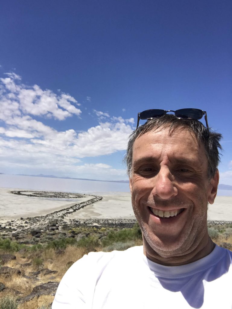
Spiral Jetty
Spiral Jetty is a site-specific artwork created by Robert Smithson (1938-1973) in 1970. It’s an example, maybe the best known one, of Earth Art. The work is currently owned by the Dia Art Foundation.
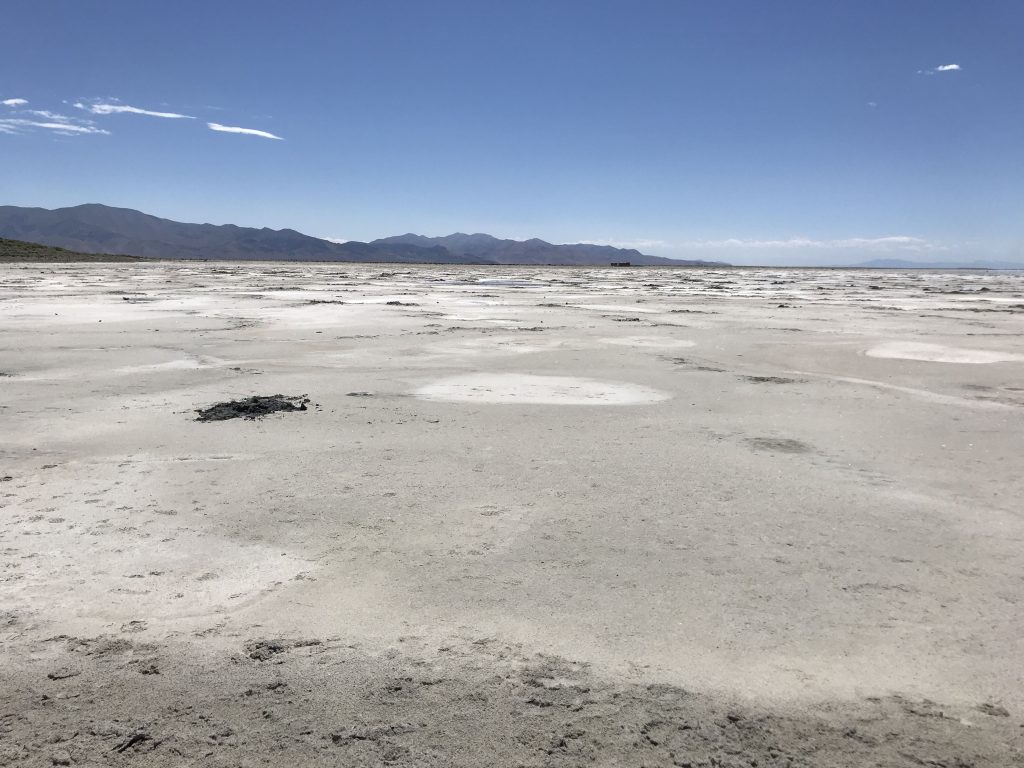
When I found out it’s relatively near GSNHP, it became a must-visit. It’s actually a 40-minute drive from GSNHP each way over dirt roads.
To create it, Smithson hired a contractor and crew with dump trucks, a tractor, and a front loader.
It’s amazing to think of the work that had to be done, including selecting the site, planning the work, getting permission, and executing the work.
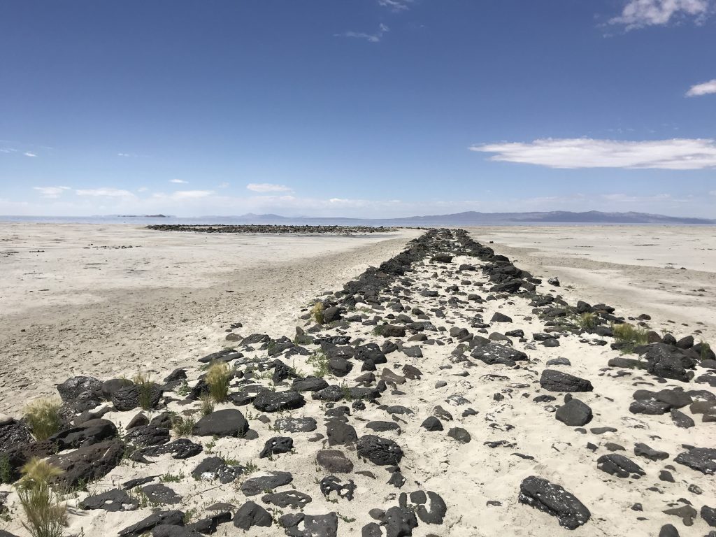
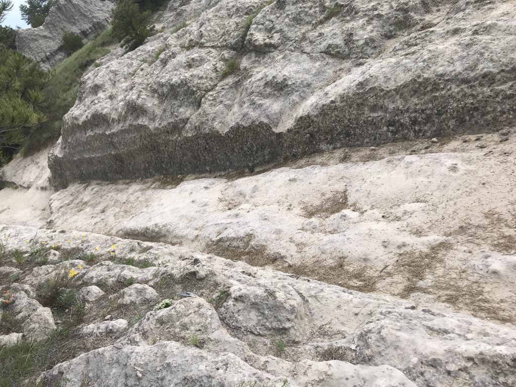
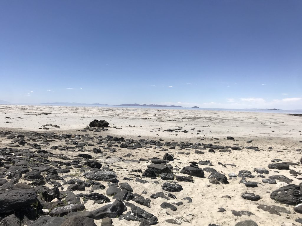
A Dia brochure said the work is intended to be walked on, so I did. I walked from the beginning all the way to the center, about a ten-minute walk. The black basalt rocks have many interesting holes and striations in them. Some look like animal skulls.
My impressions – this is a marvelous work, fully deserving its iconic status. The site is so remote, strange, and haunting. You can take its theme as “man meets nature” if you want to. The work requires something of the viewer — minimum 1 hour driving, walking down and up a rocky slope, plus 20 minutes walking. As an experiential work, it fits into the 1970s when it was made.
No one else was at Spiral Jetty while I was there.
On to Idaho!
In the afternoon I crossed into Idaho. State #22 for the trip. There were very strong winds when I got to my hotel in Jerome.