Kill Devil Hills, NC to Pine Knoll Shores, NC
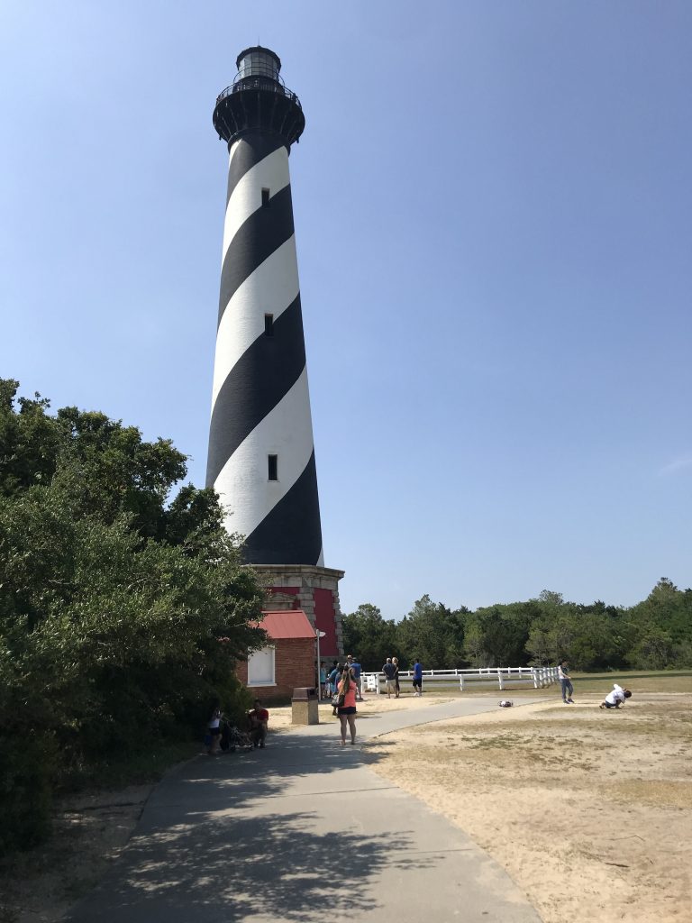
I left the commercialized part of the Outer Banks for the unspoiled Cape Hatteras National Seashore. I went to the Cape Hatteras Lighthouse visitor center and museum. The lighthouse itself is beautiful, with spiral black and white stripes (referred to as a “daymark” by lighthouse hipsters).
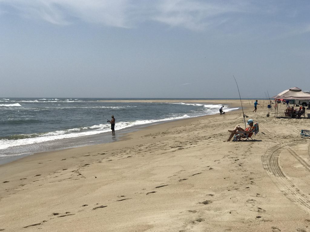
While at Cape Hatteras I wanted to walk to the extreme point (called Cape Point) because that’s what I do. It was only about a mile, but the sand made it tough going. The very end of the point is fenced off for bird nesting.
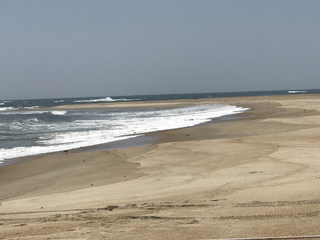

Cape Hatteras is where the east coast of the US takes a sharp turn to the southwest. On the map, it looks like a jaw sticking out into the ocean.
I met a really nice park ranger, RJ, who was apparently there to guard the birds, and I told him about my trip. He said that the ocean and storms change the configuration of the land. The location of the point is changed from last year. Cape Hatteras is also where two major ocean currents meet – the Labrador Current from the north and the Gulf Stream from the south. I could actually see them colliding.
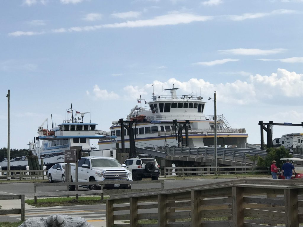
To continue my journey south I needed to take two ferries – the Hatteras – Ocracoke one and the Ocracoke – Cedar Island one. (Despite its name, Cedar Island is back on the mainland.)
Ocracoke is a skinny little island that feels like Martha’s Vineyard must have been before it was discovered. Laid back, pristine beaches, tons of restaurants.
Leave a Reply